How does it work
We provide a simple and easy way to update your progress on the Applachian Trail. The idea is to provide a map where the trail is shown as long, as you have hiked it. To update your progress you select the last shelter you have passed. The nearest point on the trail is used as marker for your progress.
Try it now!
Get Started!Use it as you like
Embedding
Sharing
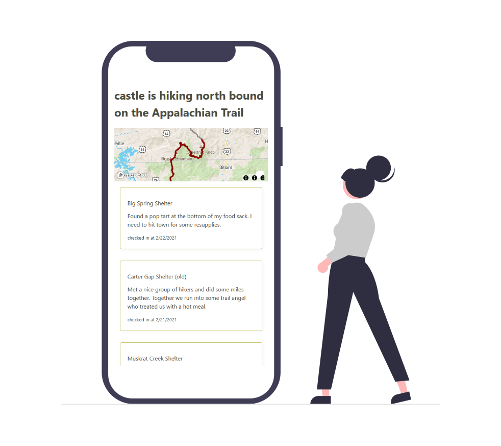
Tracking

Or do whatever you like to do with it, whether showing life signs for your people at home or just as your personal logbook.
If you are missing an important feature, get in touch with us.
Happy Trails!

Appalachian Trail
2,193 Miles

Pacific Crest Trail
2,650 Miles
Continental Divide Trail
3,059 Miles

Haute Randonnée Pyrénéenne
500 Miles
We used it, too!
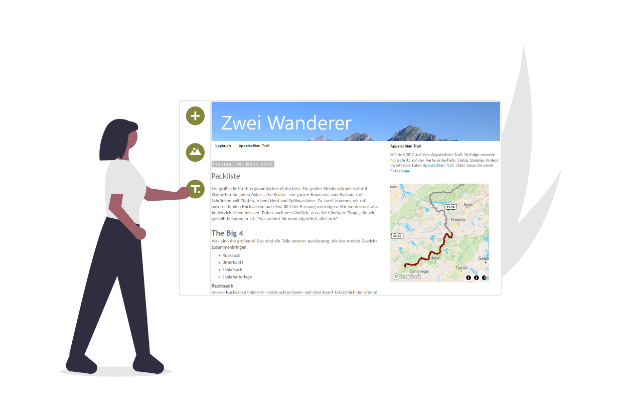
We ourselves hiked the AT northbound in 2017. And we had been asked by our family, friends and colleagues how they can follow us. The obvious options are blogs and photo albums. But we thought it would be awesome for them to see the actual miles we hiked. Therefore we used and tested this service firsthand in 2017.
Try it now and sign up for free.